Project presentation: Danube_Archive/Donau_Archiv for Europaischen Akademie Berlin and Europa Zentrum Baden-Wurtemberg, 17-19 january 2011
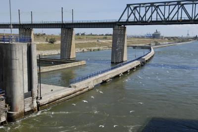
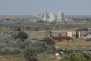
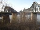
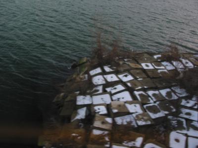
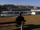
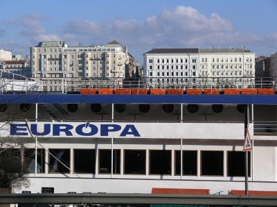
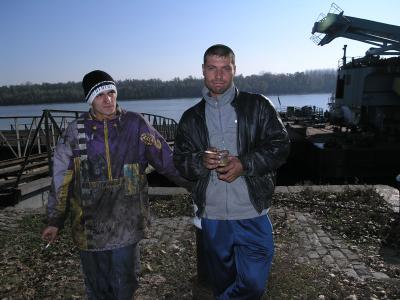
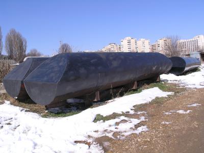
For many centuries the Danube has represented a unifying element, but also one that divided/separated important regions of Europe. Functioning in the same time as transitional space and as political border, defined both by tourism and by traffic, linking the Former West to the Former East, the river Danube flows from elegant Vienna and Budapest to the long shorelines of post-communism and post-Yugoslavian war, marked with black market trade relics (such as the hundreds of gasoline stations opened on the Romanian bank of the river during the 90ties), with today’s developing industrial structures, and full with contemporary legends and mythology.
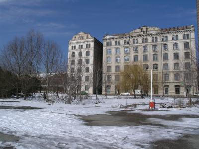
The photographs from Danube Archive, took over a number of years by the Romanian artist Iosif Kiraly and by members of the group Ro_Archive, show the transition and transformations in scenery, both from a geographical and time-based perspective. Rural or semi-deserted areas of the riverbank are included in the archive, together with the ample work-in-progress observation of cities such as Vienna, Budapest, Belgrade, Orsova, Drobeta Turnu Severin, Ruse, Oltenita, Cernavoda, Medgidia, Braila, Galati and the Danube-Black Sea Channel.
They are organized in two large scale sub-categories: Water Lines (images of the river Danube) and Riverbank Places (images from the cities and places on the river Danube).
Danube Archive is an ongoing project and was started at Iosif Kiraly’s initiative, from the necessity to extend the observation beyond borders, in order to accurately document and understand the diversity of social, political and economical factors that have influenced the Danube riverbank landscape and the Romanian cities which were affected by trade transformation, geopolitical strategies etc. In order to observe the patterns and better nuance the differences, the entire course of the river has to be documented, building an archive of water line images and riverbank places, from the large scale urban and industrial scenery to the empty, transitional areas. Such an archive would be an embodiment of zonal politics and legislation, an atlas of human and landscape characteristics, and a multi-layered database of urban studies.